 TRAIL
TRAILWalk where the map ends.
Cloud forests · Volcanic ridges · River valleys
The canopy closes.
Your breathing slows.
Dense jungle. The trail narrows to a single thread through wet ferns and root systems older than any map. Mud clings to your boots. The air tastes green.
The valley opens.
The scale of it hits you.
Routes mapped by guides who've walked them in monsoon season. Every camp site chosen for the morning view, not the flat ground.
Night falls hard
in the mountains.
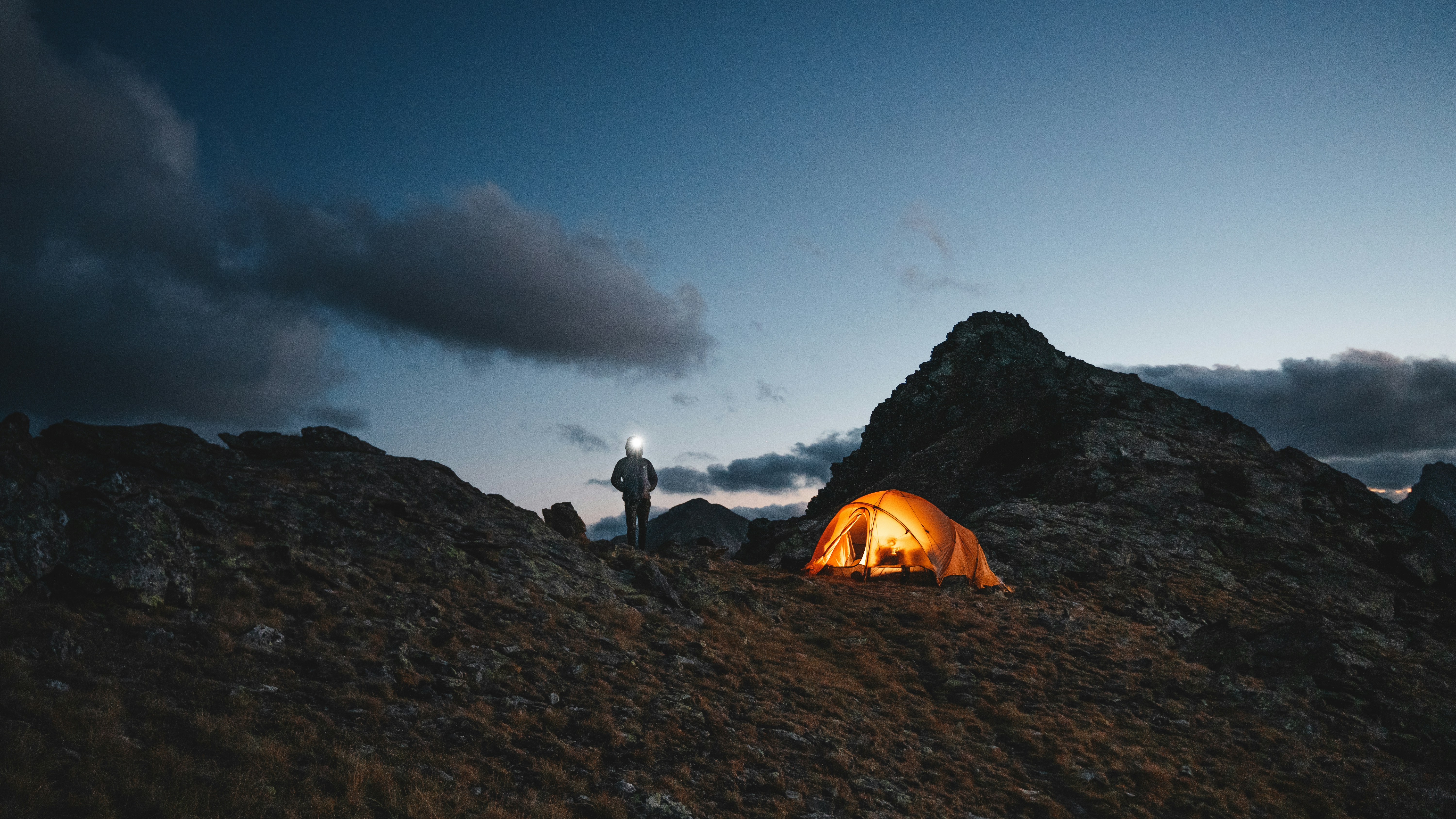
Steam rising from tin mugs. The tent glows amber. Headlamps trace arcs across the ridge above camp. Tomorrow's push begins at 4am. Nobody minds.
4am. The sky
turns amber.
The final ridge. Deep blue fading to gold at the edges. Every step deliberate. The guides have been here a hundred times and still stop to look.
"I booked this for my 40th. I'm already planning the next one."
You've walked it
in your mind.
Small groups. Guides who know every switchback. Routes that aren't on any app. The trail is waiting.